

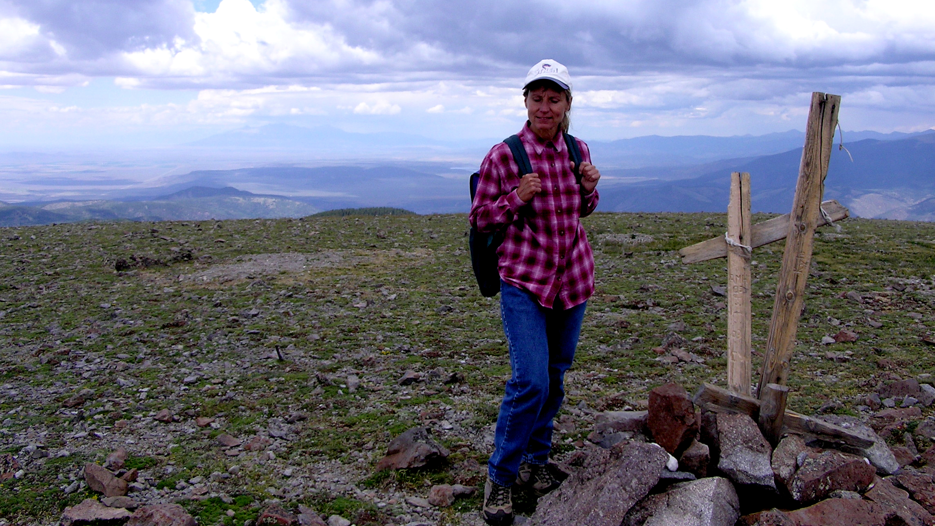
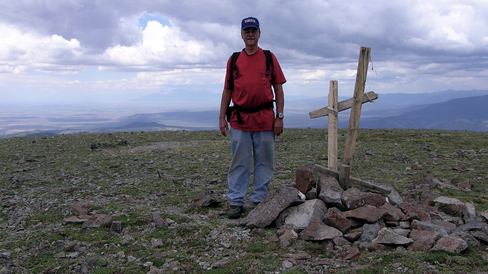
Latir Peak Wilderness is a 20,506-acre wilderness area located within the Carson National Forest in northern New Mexico, United States. Designated in 1980, the wilderness is composed of dense forest, meadows, and alpine tundra on Latir Mesa in the northern portion. It includes a portion of the Sangre de Cristo Mountains and contains four of the state's twenty highest peaks - Venado Peak at 12,734 feet, Latir Peak at 12,708 feet, Latir Mesa at 12,692 feet, and Virsylvia Peak at 12,594 feet.[2] Most of the area is drained by the Lake Fork of Cabresto Creek, which originates at Heart Lake and is impounded just outside the wilderness in Cabresto Lake, the main trailhead for visitors entering the wilderness.
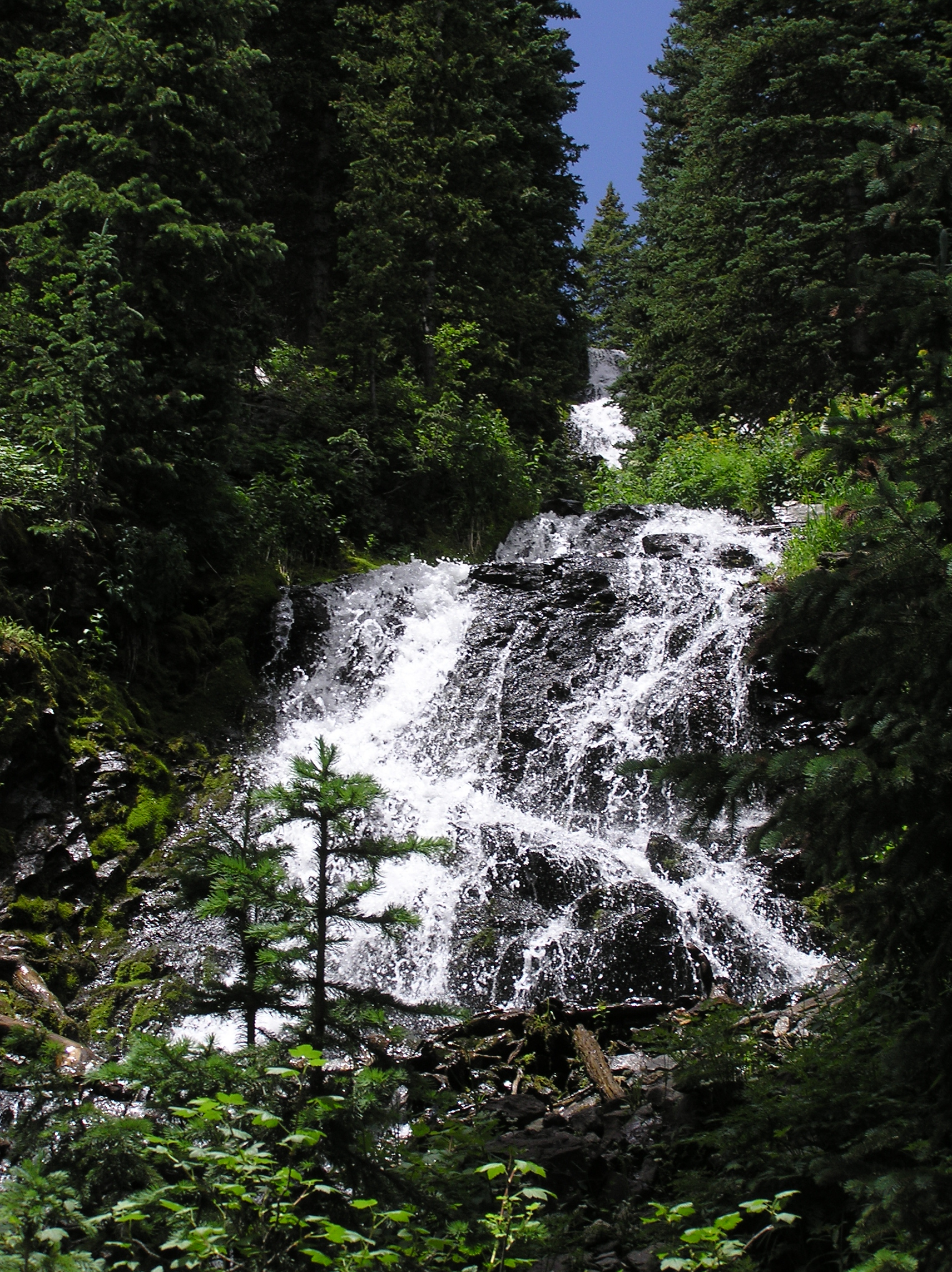
Latir Falls is in an amazingly beautiful place called Rio Costilla Park.
Latir Creek lies on private land… from end to end. Costilla Land and Cattle Company of Costilla, New Mexico invites you to visit, camp, fish, hunt, shoot photos or just kick back and relax… and you will find their fee extremely reasonable. Take highway 68 north of Taos 40 miles, at Costilla turn left and continue past Amalia 9 miles.
Bighorn sheep is a species of sheep native to North America. It is named for its large horns. A pair of horns might weigh up to 30 pounds. The sheep typically weigh up to 315 pounds.
Recent genetic testing indicates three distinct subspecies of Ovis canadensis, one of which is endangered.
Sheep originally crossed to North America over the Bering Land Bridge from Siberia. The population in North America peaked in the millions, and the bighorn sheep entered into the mythology of Native Americans.
By 1900, the population had crashed to several thousand, due to diseases introduced through European livestock and over hunting.


0 Comments