
Sometimes the best laid plans take an unexpected turn, and that's exactly what happened on our Independence Day hike in the southern foothills of the Sangre de Cristo range.
You know, after eight decades on this earth and countless miles walked across the landscapes of the American Southwest, I've learned that the most memorable adventures often come from the unplanned detours. This Fourth of July was no exception, as Paulette and I discovered during what was supposed to be a leisurely four-mile jaunt through one of our favorite trail systems near Apache Canyon.
The morning started with that familiar anticipation that comes with exploring new territory. Living here in Santa Fe, we've been blessed with an embarrassment of riches when it comes to hiking near Santa Fe. The high desert country surrounding our adopted home offers everything from gentle arroyos to challenging mountain ascents, and after seven years of calling this place home, we still find ourselves discovering hidden gems tucked away in the folds of these ancient hills.
Setting Out on Independence Day
Our chosen destination lay just a short drive from our Santa Fe home, in the trail system that winds through the southern foothills of the Sangre de Cristo Mountains. These are the same mountains that have captured my heart since we first arrived in New Mexico – a dramatic spine of peaks that translates to "Blood of Christ" in Spanish, named for the way the alpenglow paints them crimson at sunrise and sunset.
The Sangre de Cristo range stretches over 200 miles from southern Colorado down into northern New Mexico, with Wheeler Peak – visible from our mountain home up in Angel Fire – standing as the highest point in the state at 13,159 feet. But here in the southern foothills near Apache Canyon, we were exploring the gentler approaches to these magnificent mountains, where piñon and juniper dot the landscape and the elevation hovers around 6,500 to 7,000 feet.
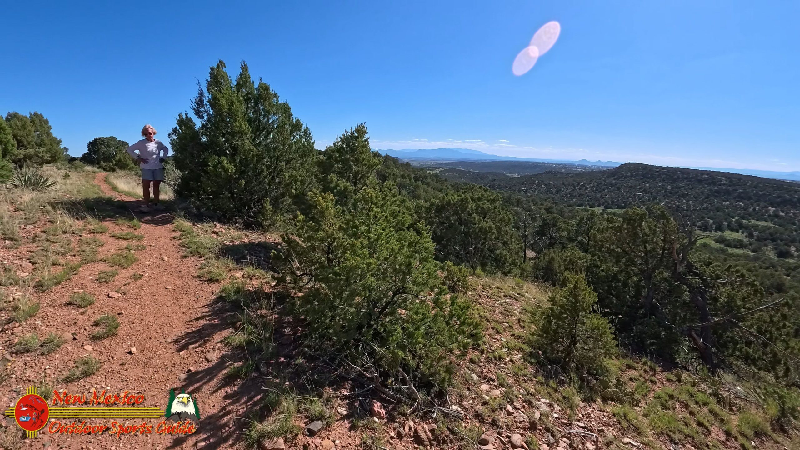
We'd hiked one of our favorite trails in this system many times before – the one that offers sweeping views over the historic railroad town of Lamy and the vast Galisteo Basin beyond. There's something about that particular vista that never fails to stir my soul, perhaps because it reminds me of the endless horizons I knew as a boy growing up on our ranch in the Kansas Flint Hills. The scale is different here in New Mexico – more vertical, more dramatic – but that sense of boundless space remains the same.
The Trail Less Traveled
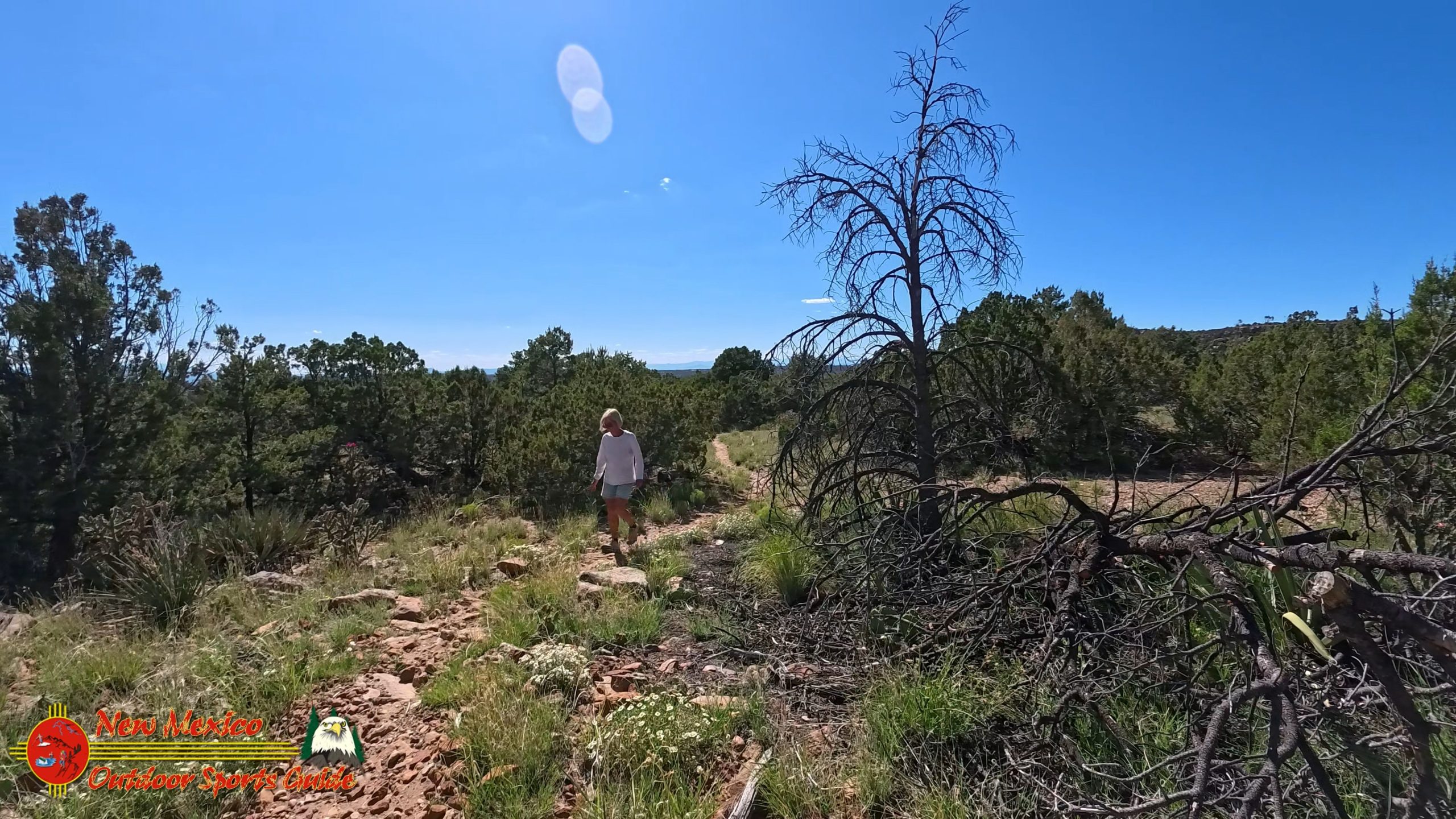
This particular afternoon, however, we were eager to explore a new section of the trail system. Our plan was simple: a four-mile out-and-back hike that would match the distance of our usual daily walks along the Santa Fe Rail Trail. At our age, consistency matters, and we've found that maintaining a regular routine of four-mile walks keeps us strong and ready for longer adventures.
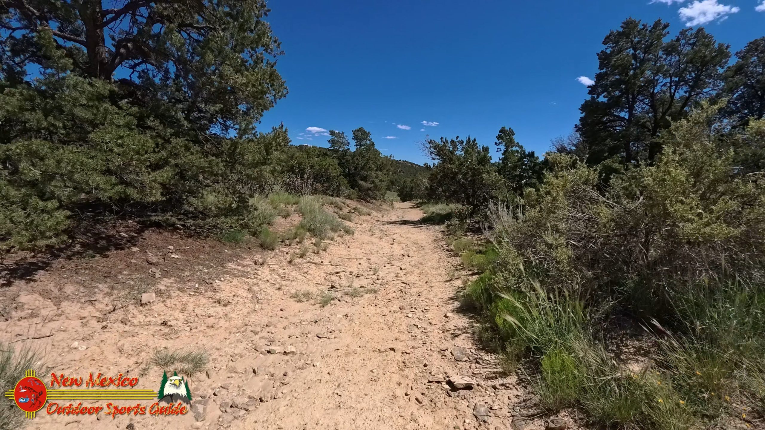
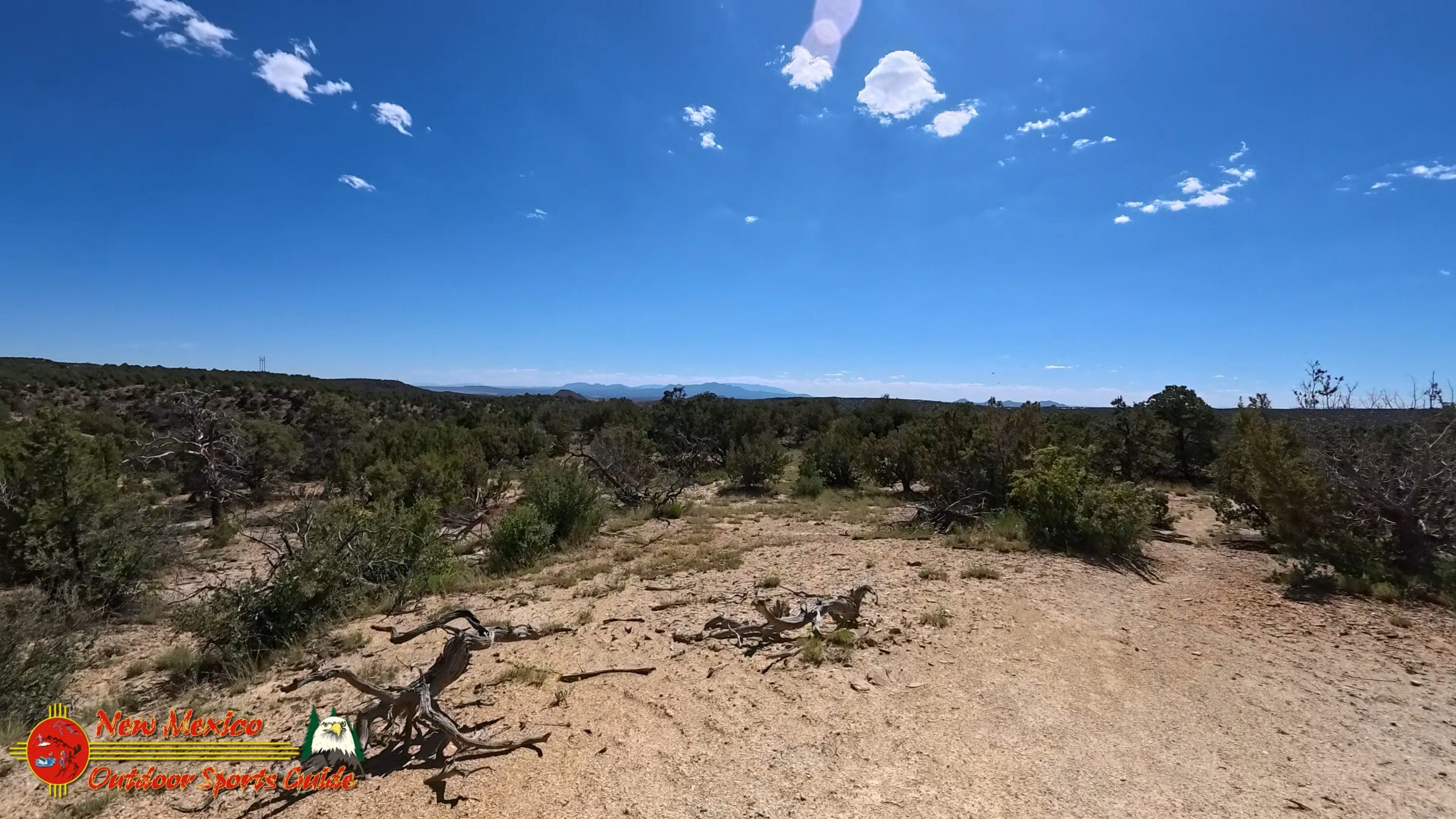
The trailhead sits in classic high desert terrain, where the transition from the Rio Grande Valley to the mountain foothills creates a unique ecosystem. Hiking near Santa Fe means encountering this distinctive landscape where Great Plains meet Rocky Mountains, where Chihuahuan Desert vegetation mingles with montane forests, creating a biological diversity that never ceases to amaze me.
As we set off, the afternoon air carried that crisp clarity that comes with high altitude and low humidity. Even in July, the early hours in Santa Fe can be surprisingly cool, though we knew the sun would warm things up considerably as the day progressed. The trail began gently, winding through scattered piñon pines and aromatic four o'clock bushes, their bright magenta blooms adding splashes of color to the earth-toned landscape.
A Fortuitous Wrong Turn
About two miles in, we reached a junction where the trail split. This is where my navigation skills – or lack thereof – came into play. Despite decades of wandering through the backcountry of the American Southwest with camera in hand, I still occasionally make the classic mistake of assuming I know which way to go without consulting the map carefully.
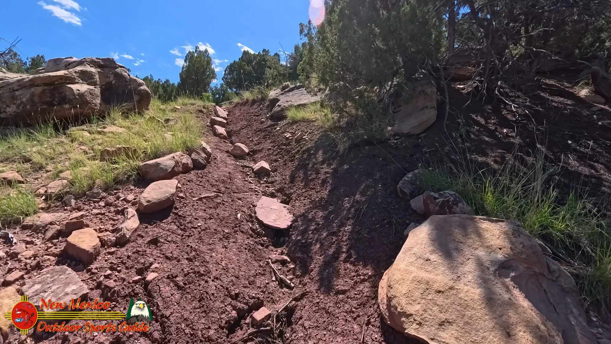
The path I chose climbed more steeply than expected, switchbacking up through increasingly rocky terrain. Paulette, ever the patient companion on our adventures, followed without complaint, though I suspect she had her doubts about my route-finding abilities. After forty-plus years of marriage, she's learned to trust that even my mistakes often lead to something worthwhile.
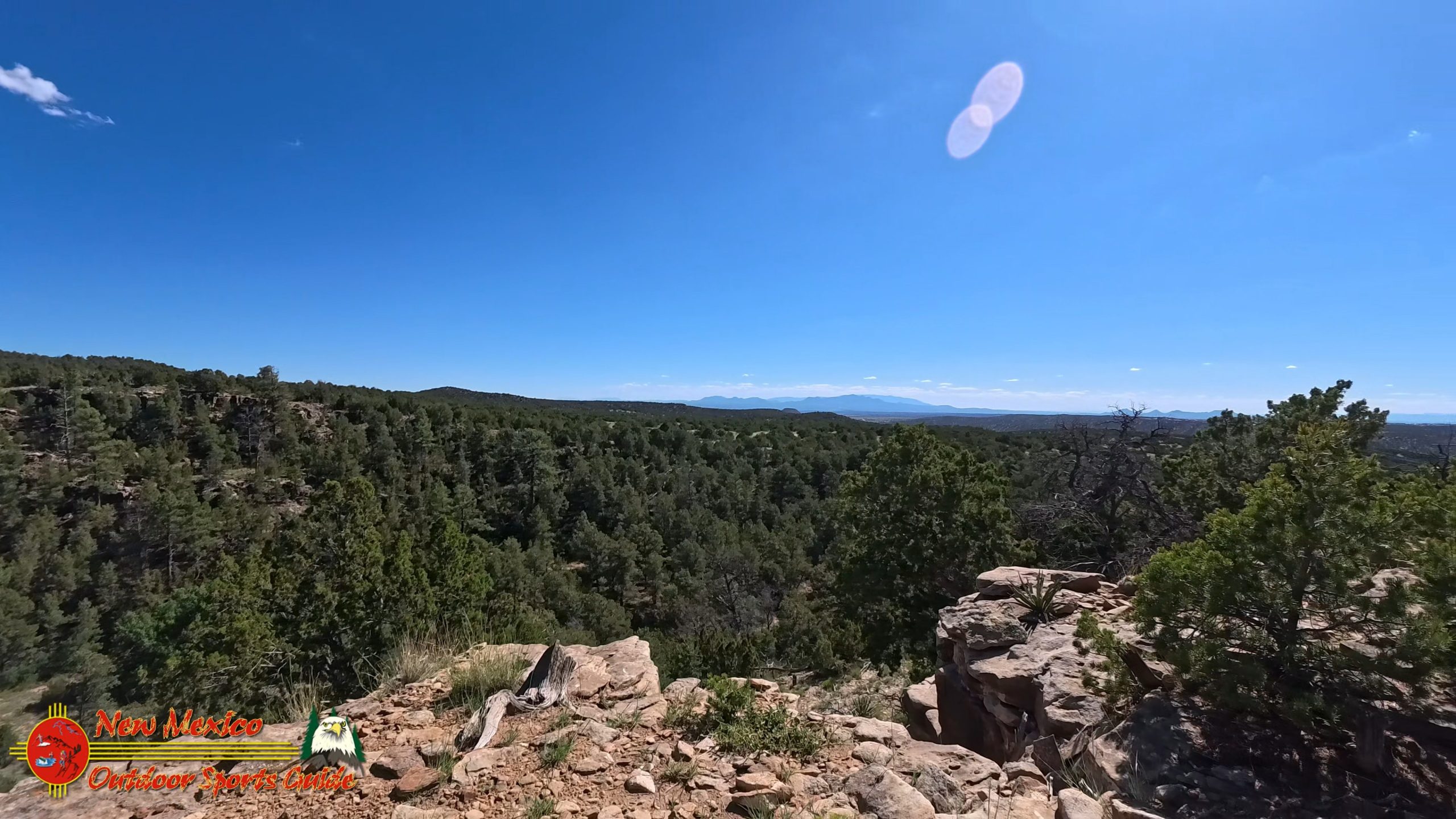
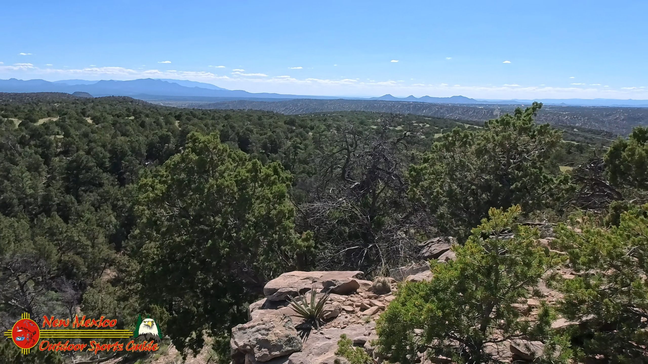
And worthwhile it was. As we gained elevation, the views began to open up dramatically. The Galisteo Basin spread out below us like a vast natural amphitheater, its floor dotted with the geometric patterns of agricultural fields and the occasional cluster of buildings that marks a small community in this sparsely populated region.
The Basin and Beyond
The Galisteo Basin is one of those geological formations that tells the story of deep time in the American Southwest. This broad valley, carved by the Galisteo Creek and its tributaries, has been home to human habitation for over a thousand years. Ancient Pueblo peoples left their mark here in the form of petroglyphs and ruins, evidence of their sophisticated understanding of this landscape's resources and rhythms.
From our elevated viewpoint, we could see the historic village of Lamy to the northeast, named after Archbishop Jean-Baptiste Lamy, the French prelate who played such a significant role in New Mexico's territorial period. The railroad still runs through Lamy today, connecting Santa Fe to the wider world much as it has for over a century. There's something deeply satisfying about seeing those parallel lines of steel stretching across the basin, a reminder of the human determination to connect distant places across seemingly impossible terrain.
But it was the mountain ranges visible beyond the basin that truly captured our attention. To the south, the Ortiz Mountains rose like a cluster of sleeping giants, their rounded peaks worn smooth by millions of years of wind and weather. The Ortiz range, while not as dramatic as the Sangre de Cristo peaks, holds its own geological treasures – including some of the oldest rocks in New Mexico, dating back over 1.4 billion years.
Further south, barely visible through the afternoon haze, we could make out the distinctive silhouette of the Sandia Mountains near Albuquerque. At over 10,000 feet, the Sandias form a dramatic backdrop to New Mexico's largest city, their name meaning "watermelon" in Spanish – a reference to the pink glow they exhibit at sunset.
Desert Blooms and Wild Beauty
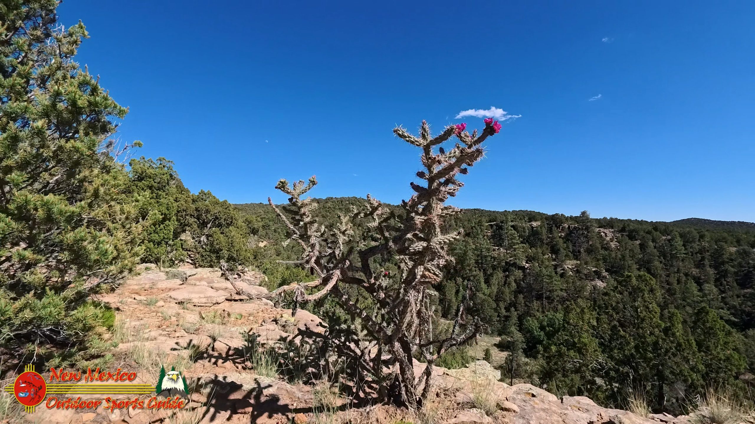
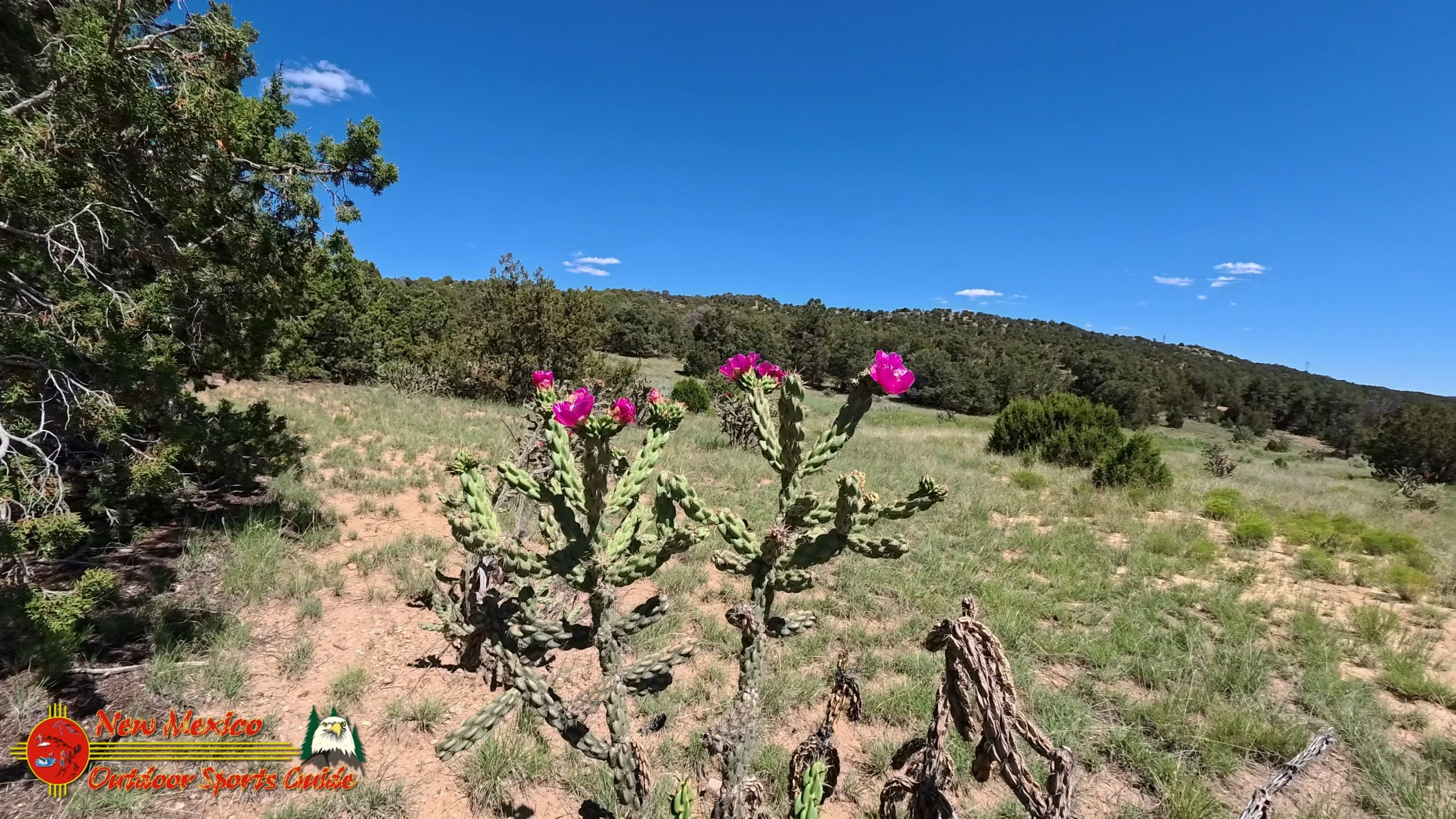
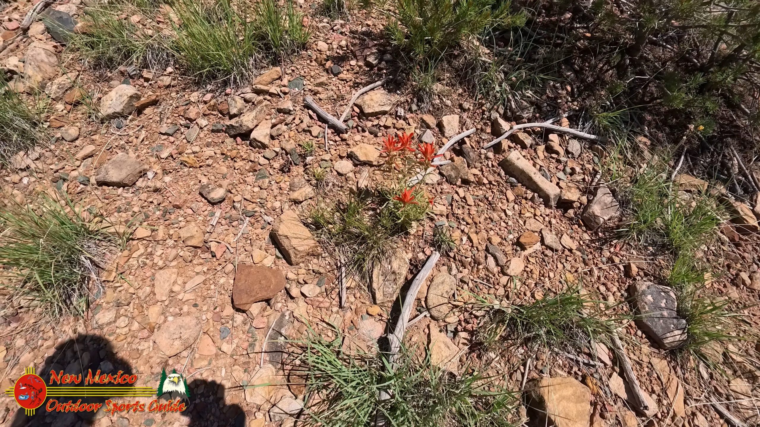
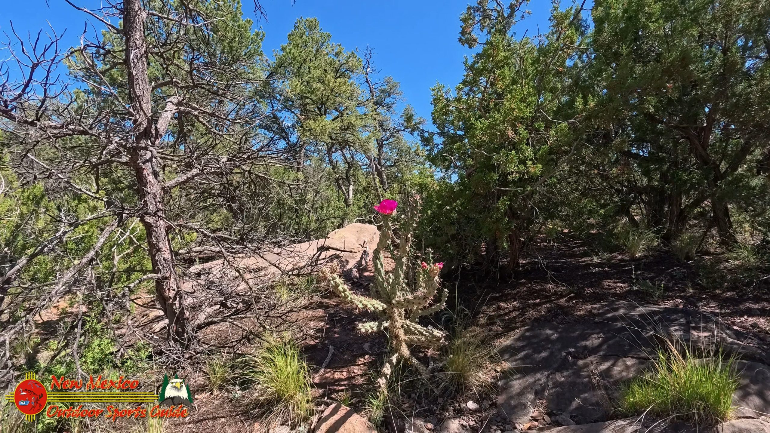
As we continued our unplanned extended hike, the trail treated us to one of the desert's most spectacular displays: cholla cacti in full bloom. These seemingly forbidding plants, with their jointed stems and fearsome spines, were crowned with flowers of the most brilliant red-orange imaginable. The contrast between the harsh, protective exterior and the delicate, vibrant blooms seemed to perfectly capture the essence of desert survival – beauty emerging from adversity.
Cholla cacti are among the most successful plants in the Southwestern deserts, having evolved a remarkable array of adaptations to thrive in this challenging environment. Their segmented stems can detach easily, allowing the plant to propagate by dropping pieces that take root wherever they land. The dense spines provide protection from browsing animals while also creating a microclimate that helps conserve moisture.
But it was the blooms that held our attention that afternoon. Each flower, perfect in its construction, seemed to glow with an inner fire against the subdued colors of the desert landscape. I found myself stopping repeatedly to photograph these natural fireworks, thinking how appropriate they were for the Fourth of July.
Scattered among the cholla were other wildflowers making the most of the summer monsoon season that brings precious moisture to this arid landscape. Desert marigolds painted golden splashes across the hillsides, while the delicate purple blooms of desert lupine added cooler tones to the palette. Ghost flowers, with their translucent white petals, seemed to float like spirits among the darker vegetation.
The Long Way Home
By the time we reached the high point of our inadvertent six-mile adventure, the sun was climbing toward its midday intensity. The views from up there were worth every extra step – the Galisteo Basin spread out like a map below us, with the railroad town of Lamy clearly visible and the distant mountain ranges creating layered horizons that seemed to stretch forever.
This is the kind of moment that makes hiking near Santa Fe such a privilege. Where else can you stand at 7,000 feet and look out over a landscape that encompasses desert basins, ancient mountains, and evidence of human habitation stretching back a millennium? The layers of history – geological, biological, and human – all visible in a single panoramic sweep.
As we began our descent, I reflected on how this unplanned detour had become one of our most rewarding Fourth of July celebrations. There's something fitting about exploring the American landscape on Independence Day, about using your own two feet to discover the natural treasures that make this country so remarkable.
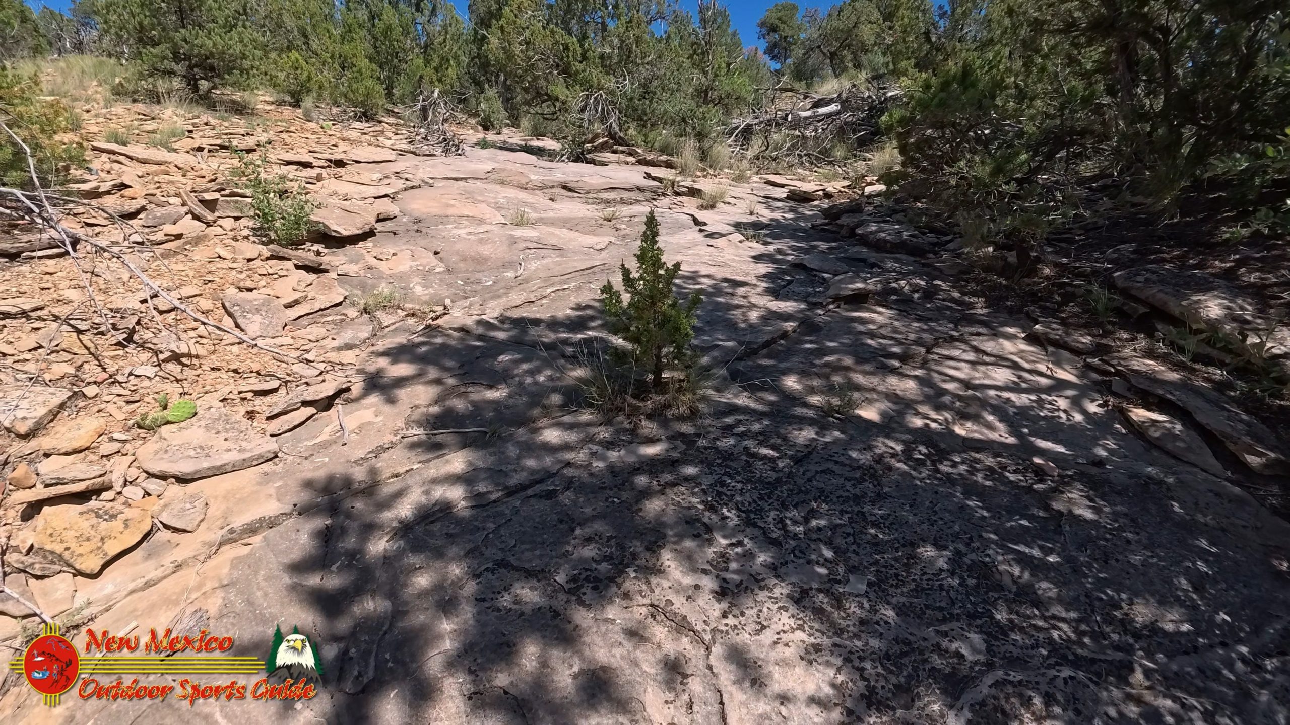
The trail down offered different perspectives on the same magnificent scenery. What had been distant peaks on the way up became more defined features on the return, while the play of light and shadow across the basin changed constantly as the sun moved across the sky. Desert landscapes have a way of revealing their secrets gradually, rewarding those who take the time to really look.
Reflections on the Trail
As we made our way back toward the trailhead, I couldn't help but think about the journey that had brought us to this moment. From my boyhood days on the Kansas ranch, where the horizons seemed endless and the sky dominated everything, to our years in Angel Fire with its alpine grandeur, and now to Santa Fe with its perfect blend of high desert and mountain access – each place has shaped my appreciation for the American Southwest.
The trail system near Apache Canyon represents everything I love about hiking near Santa Fe. It's accessible enough for regular exercise, challenging enough to keep things interesting, and beautiful enough to make every outing feel like a gift. The fact that we can drive fifteen minutes from our home and find ourselves in landscape that feels utterly wild and untouched speaks to Santa Fe's unique position as a gateway to the greater Southwest.
Our winter retreats to Lake Mohave have given us a different perspective on the desert – the lower, hotter Sonoran Desert of Arizona with its saguaro cacti and different rhythms of life. But there's something about the high desert country around Santa Fe that feels like home now, perhaps because it combines the best of both worlds: the open spaces that speak to my Kansas roots and the mountains that have claimed my heart in my later years.
The View from Eighty-Plus
At my age, every good hike feels like a victory, every new trail explored like a gift. The six miles we covered that Fourth of July afternoon might have been more than we planned, but they were also a reminder that adventure doesn't respect age – it only asks for willingness to take the next step.
The Sangre de Cristo Mountains have become the backdrop to some of our most cherished memories since moving to New Mexico. Whether we're looking up at Wheeler Peak from our Angel Fire home or exploring the foothills near Apache Canyon, these mountains provide a constant reminder of the natural beauty that surrounds us here in the Land of Enchantment.
Paulette and I have been blessed to share these adventures together for over four decades now. Having a companion who shares your enthusiasm for wild places and unexpected detours makes every mile more meaningful. She's been with me through the grasslands of Kansas, the peaks of Colorado, and now the high desert of New Mexico, and I can't imagine exploring any of it without her.
The Magic of the High Desert
As we drove home that afternoon, windows down to let in the warm summer air, I thought about what makes hiking near Santa Fe so special. It's not just the physical beauty of the landscape, though that's certainly part of it. It's the way this place connects you to something larger than yourself – to geological time, to the cycles of weather and seasons, to the ancient peoples who walked these same paths centuries ago.
The high desert has its own particular magic, different from the lush mountains of Colorado or the stark beauty of the lower deserts. Here, at elevations between 6,000 and 8,000 feet, life exists in a delicate balance between abundance and scarcity. The plants and animals that thrive here have developed remarkable adaptations to make the most of limited resources, creating ecosystems that are both fragile and resilient.
That afternoon's hike through the Apache Canyon foothills had given us a perfect sample of this high desert ecosystem. From the piñon-juniper woodlands at lower elevations to the ponderosa pine forests that begin higher up the mountainsides, we'd witnessed the subtle transitions that make the Sangre de Cristo foothills so biologically diverse.
A Perfect Independence Day
As we settled in at home that evening, tired but satisfied from our extended adventure, I realized we'd celebrated the Fourth of July in exactly the right way. Instead of watching fireworks created by human hands, we'd witnessed the natural fireworks of cholla blooms against the desert sky. Instead of listening to patriotic speeches, we'd heard the authentic voice of the American landscape itself.
This is what hiking near Santa Fe offers – the chance to connect with the real America, the one that existed long before political boundaries were drawn, the one that will endure long after our current concerns have faded into history. It's a landscape that speaks to something fundamental in the human spirit, something that transcends age and circumstance.
Our unplanned six-mile journey had reminded us once again why we chose to make New Mexico our home. Between the summer beauty of Santa Fe and our winter escapes to Lake Mohave, we've found a way to stay connected to the wild places that feed our souls. And as long as our legs will carry us, we'll keep exploring, keep discovering, keep finding new perspectives on this remarkable corner of the American Southwest.
The trail near Apache Canyon will see us again, I'm sure. But next time, I'll pay closer attention to the map at those trail junctions. Though perhaps that's not such a good idea – after all, some of the best adventures begin with a wrong turn and the willingness to see where it leads.

0 Comments