
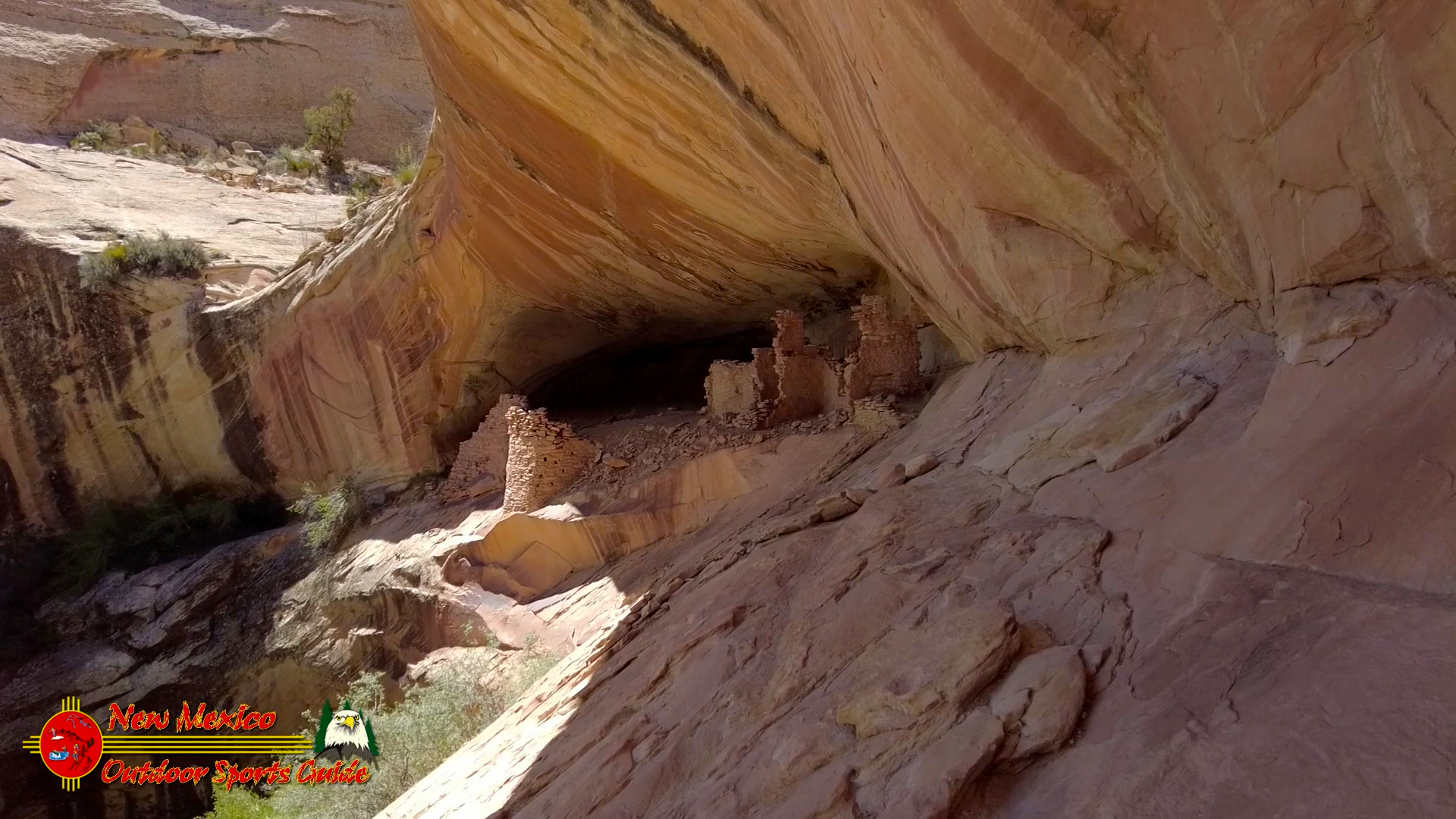
Monarch Cave in Comb Ridge is a 1.5 mile lightly trafficked out and back trail located near Bluff, Utah.
Monarch Cave is located in Butler Wash on the east side of Comb Ridge near Bluff, Utah. A short trail leads from the trailhead up a narrow canyon to a cave that contains the remains of an Ancestral Puebloan cliff dwelling. The cave and surrounding area makeup a nice outdoor museum with many traces of the daily activities of its ancient inhabitants. Besides the ruins visitors are treated to some petroglyphs and artifacts that include pottery sherds, corn cobs, sharpening grooves and metates.
Near the head of the canyon the trail forks. The right side leads up onto a small bench area where you will find some petroglyphs, pottery sherds and one of the best views of the ruins in Monarch Cave.
Monarch Cave was home to the Ancestral Puebloans – previously called the Anasazi – between 1150 and 1350 AD. This canyon was chosen for several reasons. It receives more winter sun than many other places. Secondly, the alcove is a fortress that is easier to defend. And lastly – and perhaps most importantly, there is a water source. In fact, the entire Comb Ridge has pockets of similar environments – sheltered alcoves for protection, winter sun, food and firewood and year-round pools and springs for water.
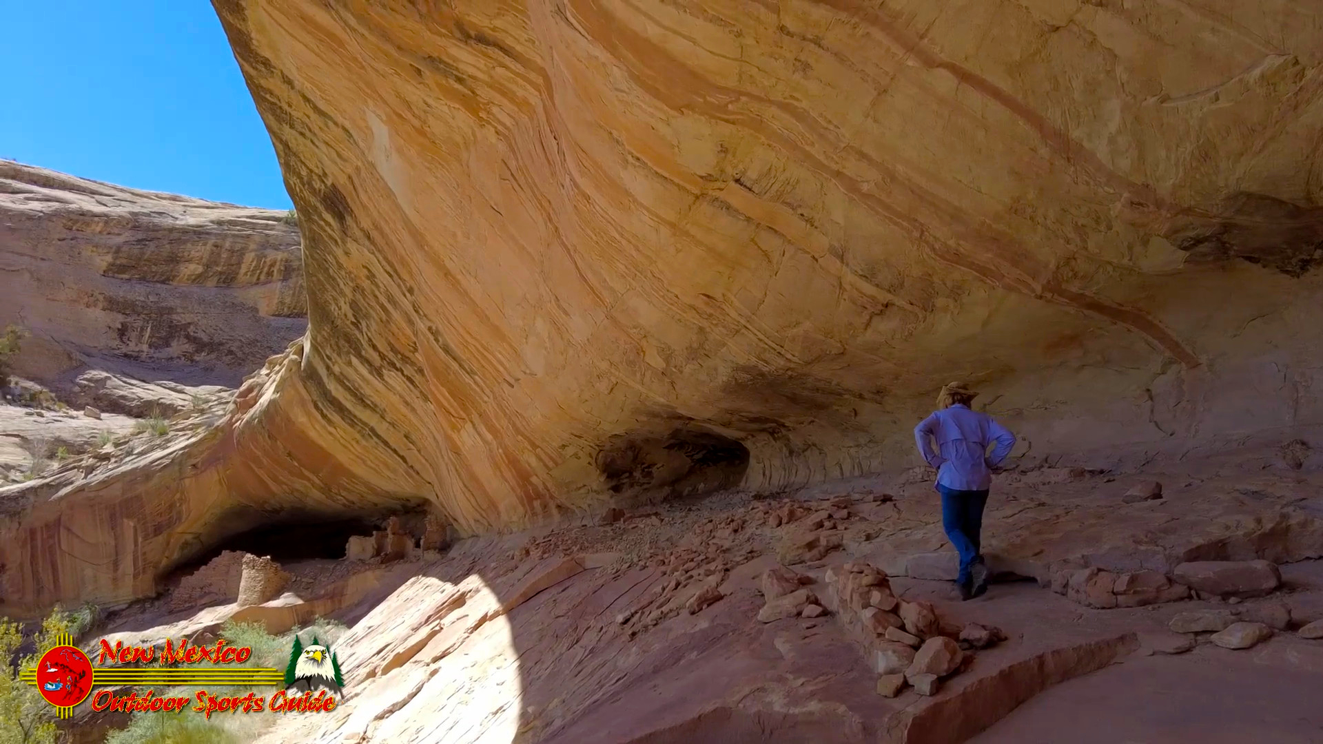
A small section of thatched roof shows the construction technique that was commonly used. Some of the ruins that you come across in the southwest are up to 3-4 stories high and this same method of construction was used between the floors.
Take time to sit and study the ruins. Imagine the completed structures covered in adobe. See the smoke curling up on the roof of the cave. Listen to the sounds of voice echoing across the canyon. Can you hear the sounds of the women grinding corn? Do you hear the calls of children? What about the voices of men as they sharpen spears or knap points?
In the flat rock surfaces, look for metates. These oval-shaped grooves were created by Ancestral Puebloans grinding corn and seeds with smaller rocks called manos. Look for the metal ammunition box with the site register and information sheets. Look around and see if you can find the historic signatures of early exploring parties and expeditions.
Once you see the water source it is much easier to see why the cave was a good location to live. Crops of corn, beans and squash were probably grown in the head of the canyon below the cave.



0 Comments