

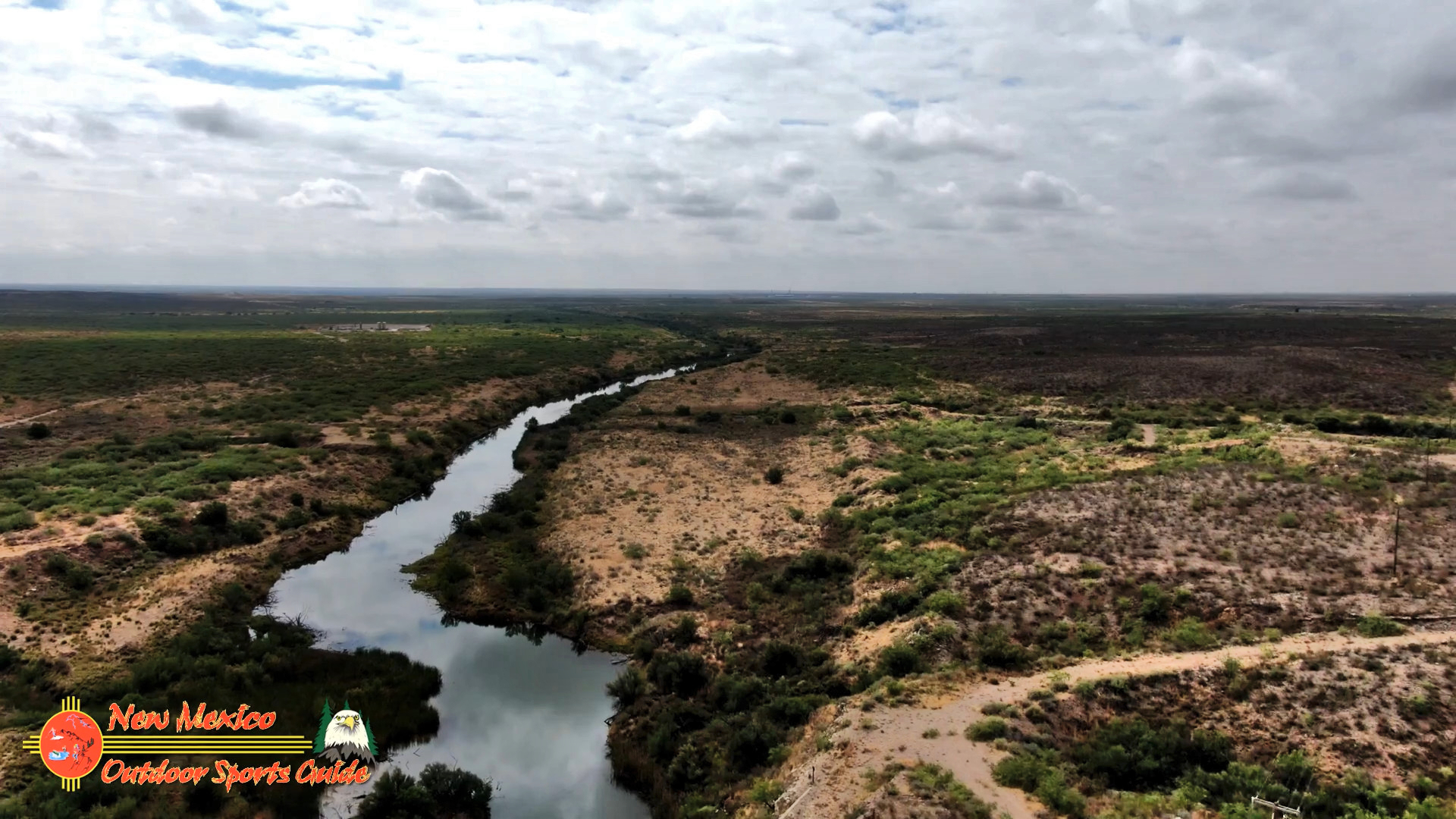
Pecos River Red Bluff Reservoir Carlsbad, NM
Red Bluff Reservoir is a reservoir on the Pecos River 40 miles north of Pecos, Texas. The reservoir extends into Loving and Reeves Counties in Texas, and Eddy County in New Mexico. The northern shoreline of the reservoir is the lowest point in the state of New Mexico. The reservoir was formed in 1936 by the construction of a dam by the Red Bluff Water Control District to provide water for irrigation and hydroelectric power. The reservoir is also used for recreational activities. With an elevation of 2,842 feet above sea level, it is the lowest point in New Mexico.
Red Bluff Reservoir has been stocked with species of fish intended to improve the utility of the reservoir for recreational fishing and swimming. Fish present in Red Bluff Reservoir include white bass and hybrid striped bass. Vegetation in the lake includes sago pondweed.
The Pecos River (Spanish: Río Pecos) originates in north-central New Mexico near Santa Fe and flows into Texas, emptying into the Rio Grande. Its headwaters are on the eastern slope of the Sangre de Cristo mountain range in Mora County north of Pecos, NM, at an elevation of over 12,000 feet. The river flows for 926 miles before reaching the Rio Grande near Del Rio.
The name “Pecos” derives from the Keresan (Native American language) term for the Pecos Pueblo, [p’æyok’ona]. The river was also historically referred to as the Río Natagés for the Mescalero people.
The river played a large role in the exploration of Texas by the Spanish.
On June 6, 1990, 20.5 miles of the Pecos River from its headwaters to the townsite of Tererro received National Wild and Scenic River designation.


0 Comments