

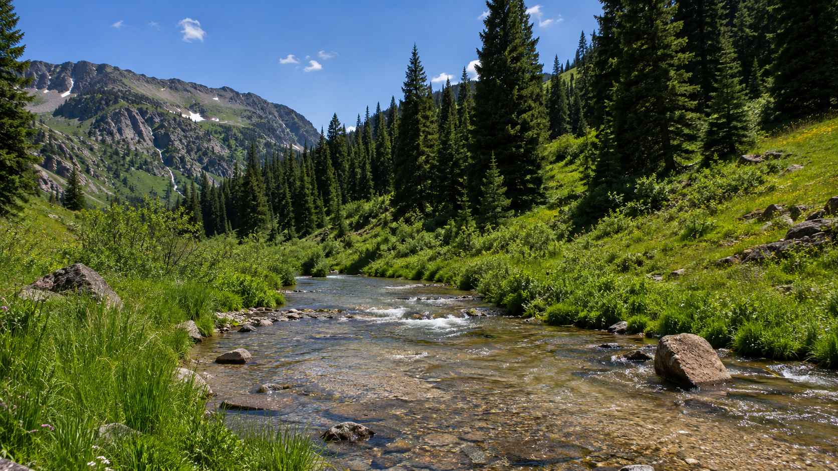
Rio Grande River Near Bandelier National Monument
A monsoon rain mudied Rio Grande River flows into Cochiti Lake near Bandelier National Monument.
The Rio Grande, known in Mexico as the Río Bravo del Norte or simply the Río Bravo, is one of the principal rivers in the southwestern United States and in northern Mexico. The length of the Rio Grande is 1,896 miles. It originates in south-centrCochiti Lake is located within the boundaries of the Pueblo de Cochiti Indian Reservation. Please observe and obey all Pueblo regulations. Do not trespass on lands closed to the public. Cochiti Lake is on the Rio Grande, about half way between Santa Fe and Albuquerque. Cochiti Dam is one of the ten largest earthfill dams in the US. It is one of the four units for flood and sediment control on the Rio Grande, operating in conjunction with Galisteo, Jemez Canyon, and Abiquiu Dams.al Colorado, in the United States, and flows to the Gulf of Mexico.
This free-flowing stretch of the Rio that feeds Cochiti Lake winds its way through desert expanses and stunning canyons of stratified rock. For the well prepared, an extended float trip provides opportunities to explore the most remote corner of Texas and experience the ultimate in solitude, self-reliance, and immersion in natural soundscapes.
Bandelier National Monument is a 33,677-acre United States National Monument near Los Alamos in Sandoval and Los Alamos counties, New Mexico. The monument preserves the homes and territory of the Ancestral Puebloans of a later era in the Southwest.
Bandelier National Monument protects over 33,000 acres of rugged but beautiful canyon and mesa country as well as evidence of a human presence here going back over 11,000 years. Petroglyphs, dwellings carved into the soft rock cliffs, and standing masonry walls pay tribute to the early days of a culture that still survives in the surrounding communities.


0 Comments