
The Drive to Grand Lake Through the Southern Rocky Mountains
There are two rivers that have commanded my attention and stirred my soul for as long as I can remember: the Rio Grande and the Colorado River. These aren't just waterways—they're the lifeblood of the American Southwest, carving through ancient rock, nourishing the desert, and connecting disparate landscapes with liquid threads of possibility. As an octogenarian who's spent the better part of eight decades exploring these mountains and valleys, I've developed a particular fascination with beginnings—those places where something monumental springs from the earth as nothing more than a trickle.
More than three decades ago, I made the pilgrimage to the Rio Grande headwaters. I can still see that image in my mind's eye: a twelve-inch fountain of crystal-clear water gushing from the mountainside in Colorado, the birthplace of a river that would travel nearly 1,900 miles to the Gulf of Mexico. I captured it on film, a moment frozen in time that has hung on various walls of our homes ever since. That journey left an indelible mark on me, a sense of witnessing something sacred and eternal.
But the Colorado River headwaters? That trip I'd been putting off. Year after year, I'd tell myself "next summer" or "maybe next fall." Then, late September 2025 arrived, and I found myself staring down my eighty-second year on this earth. The reality settled over me like morning frost: there may not be many years left where I possess the energy, the stamina, and frankly, the wits to make such a journey. The Colorado River headwaters sit at the end of Long Draw Road, deep in the remote reaches of northern Colorado—not exactly an easy afternoon drive.
So I turned to Paulette, my perfect partner of nearly fifty years, and asked if she was up for another adventure. Her eyes lit up the way they always do. "Of course," she said, as if there'd never been any question. That's who she is—always ready for the next horizon, the next discovery. We'd built our dreams together at 9,500 feet in Angel Fire, watching snow pile three to four feet deep in winter and hiking mountain trails in summer. We'd fished together on Lake Mohave, explored desert canyons, and documented countless sunrises and sunsets across the Southwest. Why would this journey be any different?
The timing, as it turned out, was perfect. Late September in the high Rockies means one thing: fall colors at their absolute peak.
Planning the Journey to Grand Lake
I settled into my desk chair and opened my laptop, fingers moving across the keyboard with the muscle memory developed from decades of building websites and documenting wilderness adventures. Within an hour, I'd booked us a cabin in Grand Lake, Colorado, perched overlooking Shadow Mountain Lake. The location was strategic—Grand Lake would serve as our base camp, offering easy access to Rocky Mountain National Park, prime moose habitat, and most importantly, positioning us for the three-hour drive through Walden, Colorado to the Colorado River headwaters at the end of Long Draw Road.
Grand Lake itself held its own appeal. We'd have a chance to revisit Rocky Mountain National Park, explore areas known for moose sightings, and simply breathe in that thin, crisp mountain air at 8,369 feet elevation. But mostly, it put us within striking distance of our primary objective.
The drive from Santa Fe to Grand Lake would take a little over seven hours, depending on stops for photography, leg-stretching, and the inevitable pull of spectacular vistas that demand attention. We wouldn't need to leave at dawn—a mid-morning departure would get us there before dark, allowing us to settle into the cabin with daylight to spare.
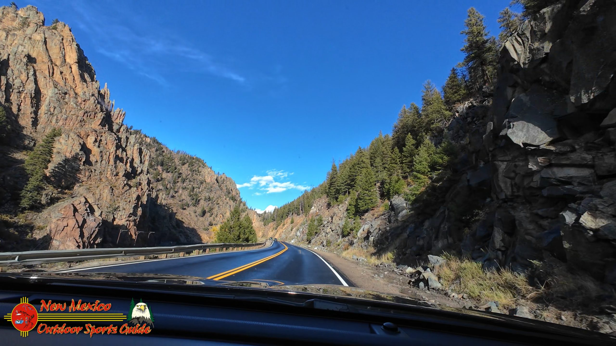
Through the Heart of the Southern Rocky Mountains
I've driven this route countless times over the past fifty-plus years, and I never tire of it. There's a rhythm to the journey, a cadence that builds as you move through distinct ecological zones, each with its own character and beauty. From the high desert of northern New Mexico, through mountain valleys, up into alpine peaks, then down again into the heart of Colorado's high country—it's a journey through time and terrain that never fails to remind me why I fell in love with this landscape decades ago.
Taos and the Rio Grande Gorge
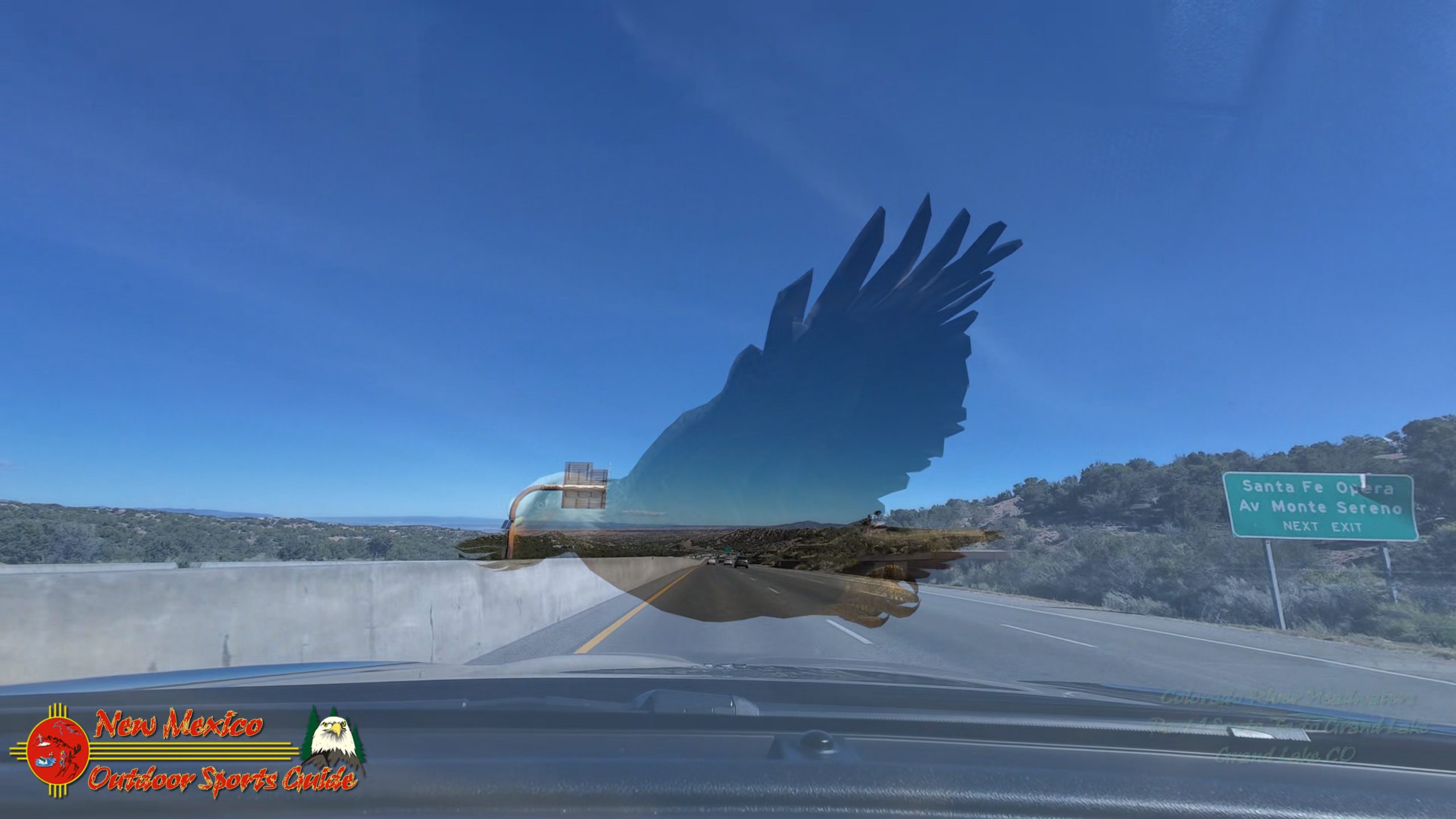
We departed Santa Fe on a crisp September morning, the kind where the air tastes clean and sharp. Highway 84/285 carried us north through the familiar piñon and juniper landscape until we merged onto Highway 68, the Low Road to Taos. The Rio Grande accompanied us, hidden in its dramatic gorge but always present, that other great river of my lifetime's fascination.
Taos sits at 6,969 feet, a nexus point where cultures collide and mingle—Native American, Spanish colonial, and the Anglo artists and adventurers who arrived in waves throughout the twentieth century. The town spreads across a sage-covered plain with the Sangre de Cristo Mountains rising dramatically to the east. We've spent countless days exploring Taos over the years, but today it was merely a waypoint, a place to fuel up and grab coffee before the real climbing began.
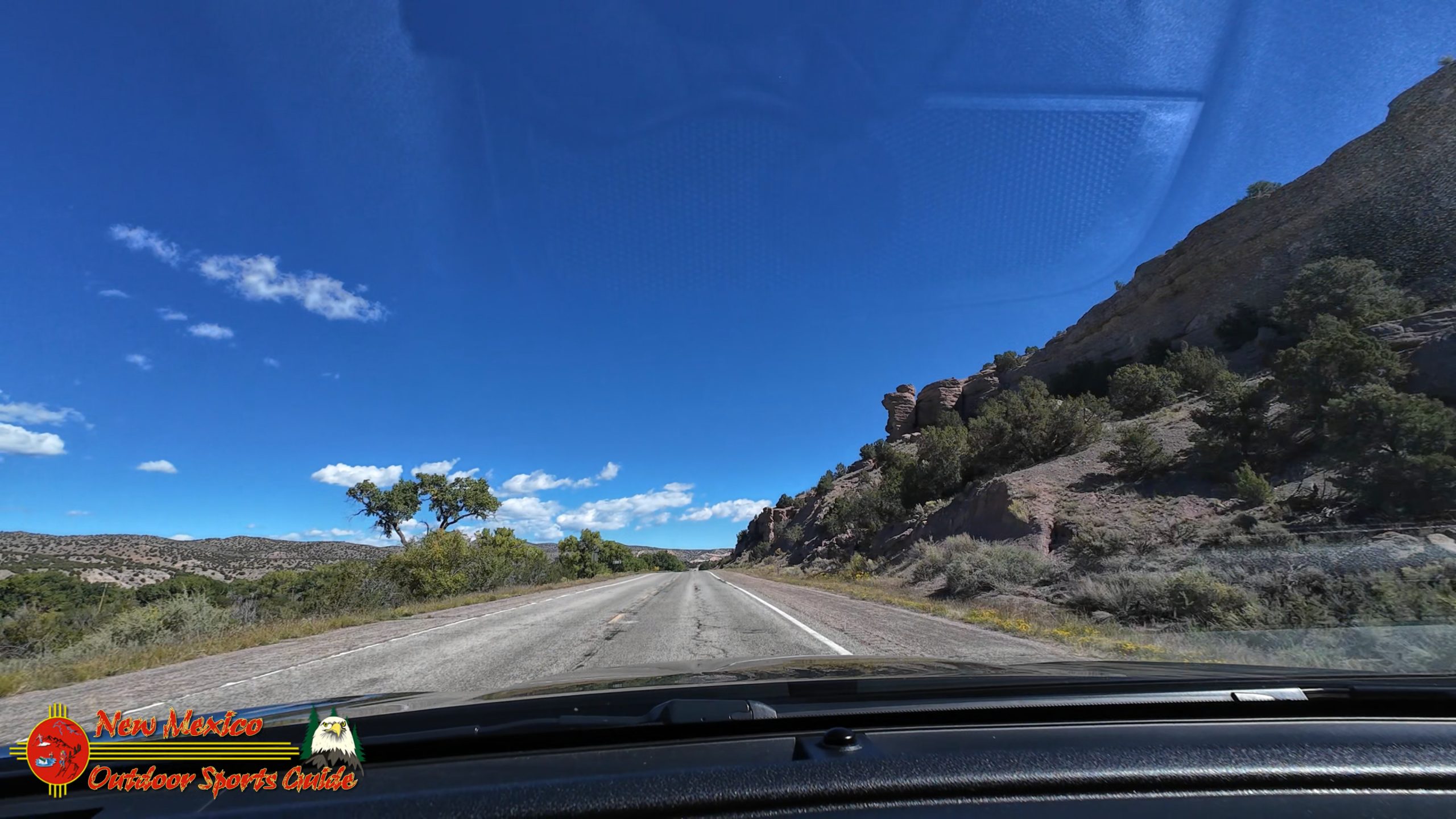
North of Taos, Highway 522 hugs the western edge of the Rio Grande, climbing gradually through a landscape of volcanic rock and high desert scrub. This is Taos County at its most remote and beautiful—vast, open, and largely unchanged from how it must have looked centuries ago. To the east, the Sangre de Cristos dominate the skyline, their peaks already dusted with September snow that catches the morning light.
Antonito and the San Luis Valley
Crossing into Colorado, we passed through the tiny community of Antonito, elevation 7,888 feet, a railroad town that serves as the southern terminus of the Cumbres & Toltec Scenic Railroad. I've always had a soft spot for Antonito—it's unpretentious, hardworking, and honest, reminding me in some ways of the Kansas ranch country where I grew up. The cattle operations here face different challenges than the Flint Hills, but the ethic is the same: respect the land, work hard, and help your neighbors.
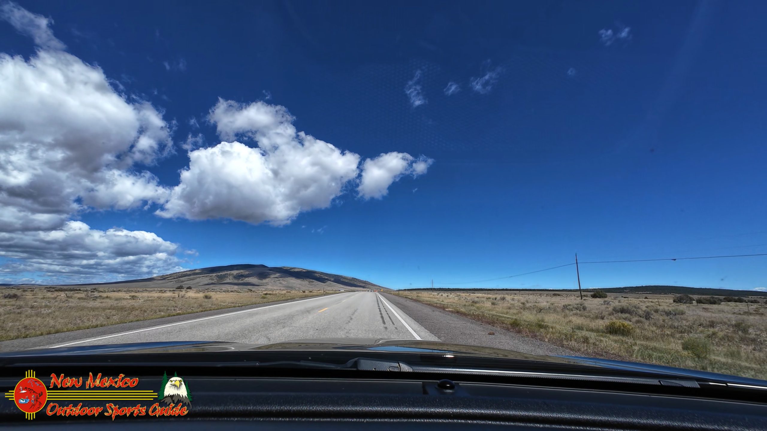
From Antonito, the highway opens into the magnificent San Luis Valley, the world's largest alpine valley. At roughly 8,000 square miles and sitting at an average elevation of 7,500 feet, it's a geographical marvel—a massive bowl surrounded by the Sangre de Cristo Range to the east and the San Juan Mountains to the west. The valley floor is remarkably flat, created by layers of sediment deposited when ancient Lake Alamosa filled this basin millions of years ago.
The San Luis Valley has its own unique climate and ecosystem. It's high desert, receiving less than eight inches of precipitation annually in some areas, yet it's ringed by peaks that exceed 14,000 feet and collect substantial snowfall. The contrast is stark and beautiful—golden grasslands punctuated by irrigated farmland, all backdropped by snow-capped mountains.
We drove through Alamosa, the valley's commercial hub at 7,544 feet, a no-nonsense agricultural and educational center that serves as the home of Adams State University. I've always appreciated Alamosa's straightforward character. It's not trying to be anything other than what it is—a working town that supports the ranching, farming, and outdoor recreation that defines this region.
The Great Sand Dunes
East of Alamosa, we made our planned stop at Great Sand Dunes National Park and Preserve, one of Colorado's most surreal and spectacular landscapes. Here, the tallest sand dunes in North America—some rising 750 feet above the valley floor—pile against the western edge of the Sangre de Cristo Mountains. The dunes were formed over thousands of years as sand and sediment from the valley floor were picked up by prevailing winds and deposited against the mountain barrier.
Paulette and I have visited the Great Sand Dunes multiple times, and the place never ceases to amaze. The dunes shift constantly, their ridgelines sharp and serpentine, creating shadows and textures that change throughout the day. In September, the crowds thin considerably, and we had the visitor area largely to ourselves.
The surrounding landscape adds to the drama—Medano Creek flows along the base of the dunes in spring and early summer, creating a unique beach-like environment at 8,175 feet elevation. The Sangre de Cristos rise abruptly beyond, their forested slopes giving way to alpine tundra and rocky peaks. It's a study in contrasts: desert dunes meeting mountain wilderness, gold sand against green forest and white snow.
We spent an hour photographing the dunes from various angles, capturing the interplay of light and shadow, the curves and textures that make this place so photogenic. The September light had that particular quality—softer than summer, with more warmth than the harsh brightness of July. Perfect for photography.
Into the Mountains: The Arkansas River Valley
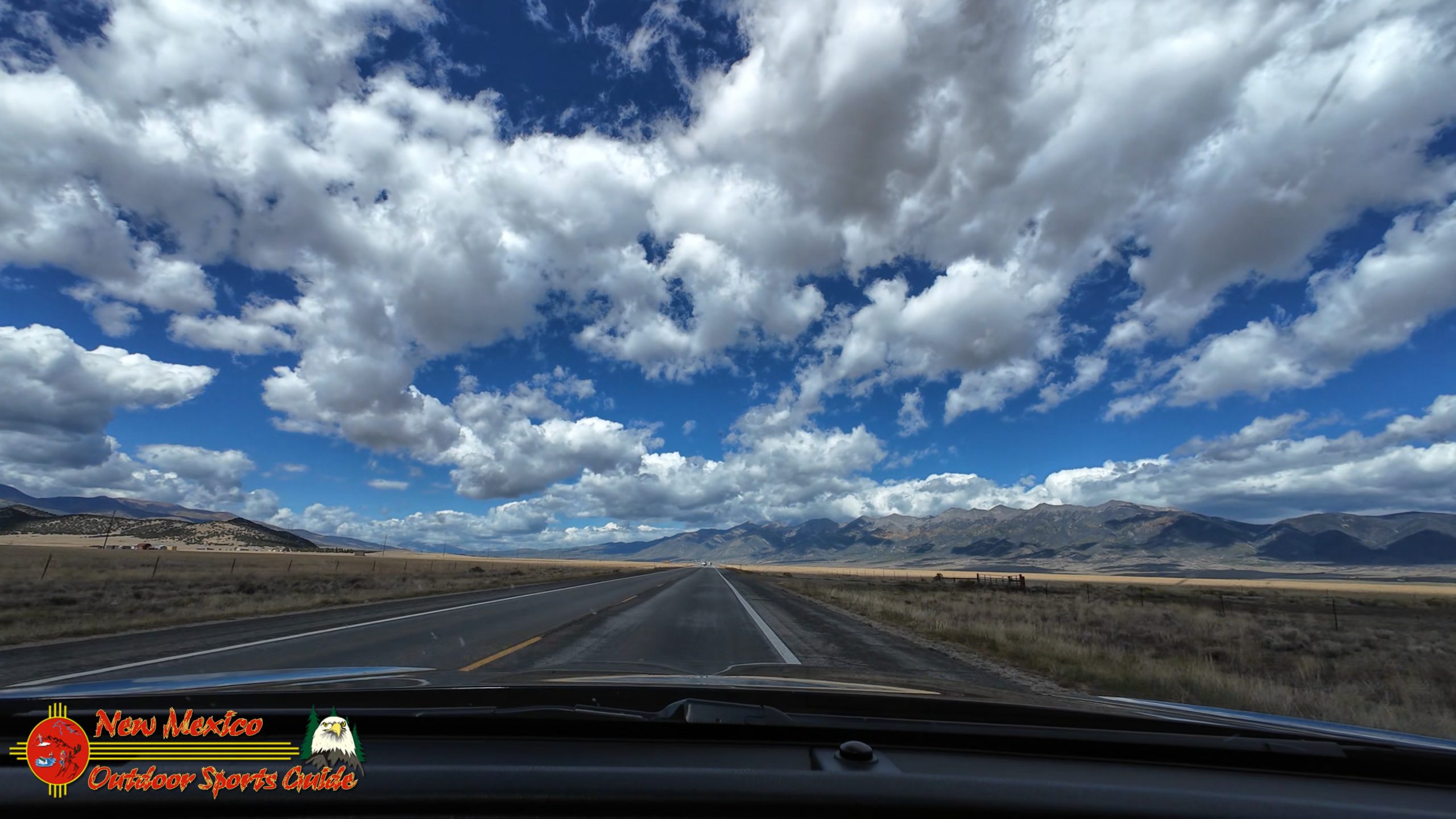
Leaving the Great Sand Dunes behind, we continued north, gradually leaving the high desert ecosystem and entering the mountains proper. The transition is gradual at first, then suddenly dramatic as you enter the Arkansas River Valley. The Arkansas, flowing from its headwaters high in the Sawatch Range, has carved a spectacular canyon through the mountains here, creating some of Colorado's most famous whitewater rafting.
The highway follows the river through Salida and up to Buena Vista, climbing steadily. This is Colorado at its most quintessentially Western—the river rushing alongside the road, aspen groves beginning their golden transformation, and fourteeners dominating every vista. Buena Vista, at 7,965 feet, sits at the northern end of the Arkansas River Valley, surrounded by more fourteeners than you can count on two hands—Mount Princeton, Mount Antero, Mount Shavano, Tabeguache Peak, and Mount Yale all visible from town.
I've driven this stretch of Highway 24/285 more times than I can count, but it never gets old. The Arkansas River here is substantial, cold and clear, rushing over boulders and through riffles. In the afternoon light, it sparkles like liquid silver. The valley is wide enough to support ranching operations, and we passed several spreads that reminded me of my Kansas boyhood—hay fields, cattle, sturdy barns, and the unmistakable signs of people making an honest living from the land.
Leadville: America's Highest City
From Buena Vista, the highway climbs in earnest toward Leadville. This is serious elevation gain—from roughly 8,000 feet to over 10,000 feet in a relatively short distance. The air noticeably thins, the vegetation changes, and the temperature drops. We were climbing into the high country now, genuine alpine territory.
Leadville sits at 10,158 feet, proudly claiming the title of America's highest incorporated city. It's a title well-earned and hard-lived. Leadville was born during Colorado's silver boom, and it retains that mining town character—tough, resilient, and unpretentious. The Victorian architecture speaks to wealth that once flowed through here, but this was never a genteel place. Leadville was where fortunes were made and lost, where the altitude and isolation tested everyone who came seeking silver.
The town sits in a high valley surrounded by peaks that exceed 14,000 feet—Mount Elbert and Mount Massive, Colorado's two tallest mountains, dominate the western skyline. In September, Leadville can be downright cold, and we weren't surprised to see our breath as we stepped out for a quick lunch and leg stretch. The temperature had dropped at least twenty degrees since we left Santa Fe.
Leadville also marks a significant transition in the journey. Up until now, we'd been climbing steadily. From here, it's mostly downhill to Dillon, though "downhill" in this context still means you're well above 9,000 feet.
The Descent to Dillon Reservoir
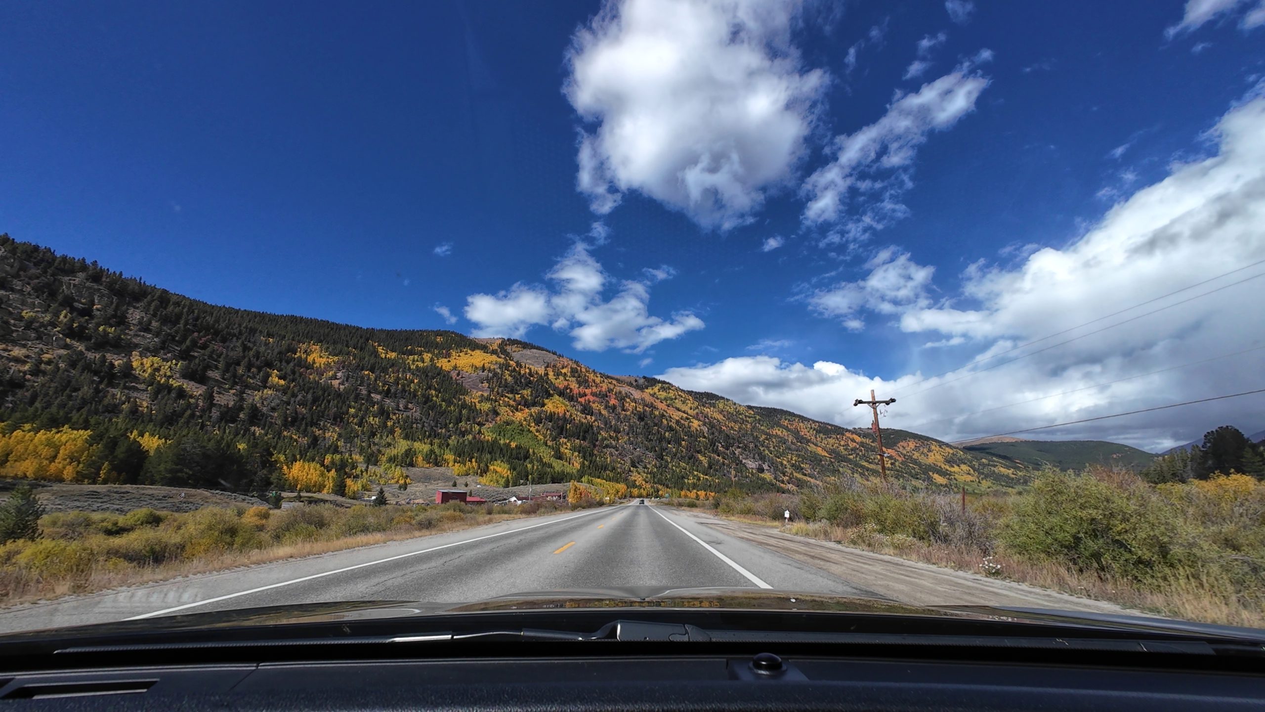
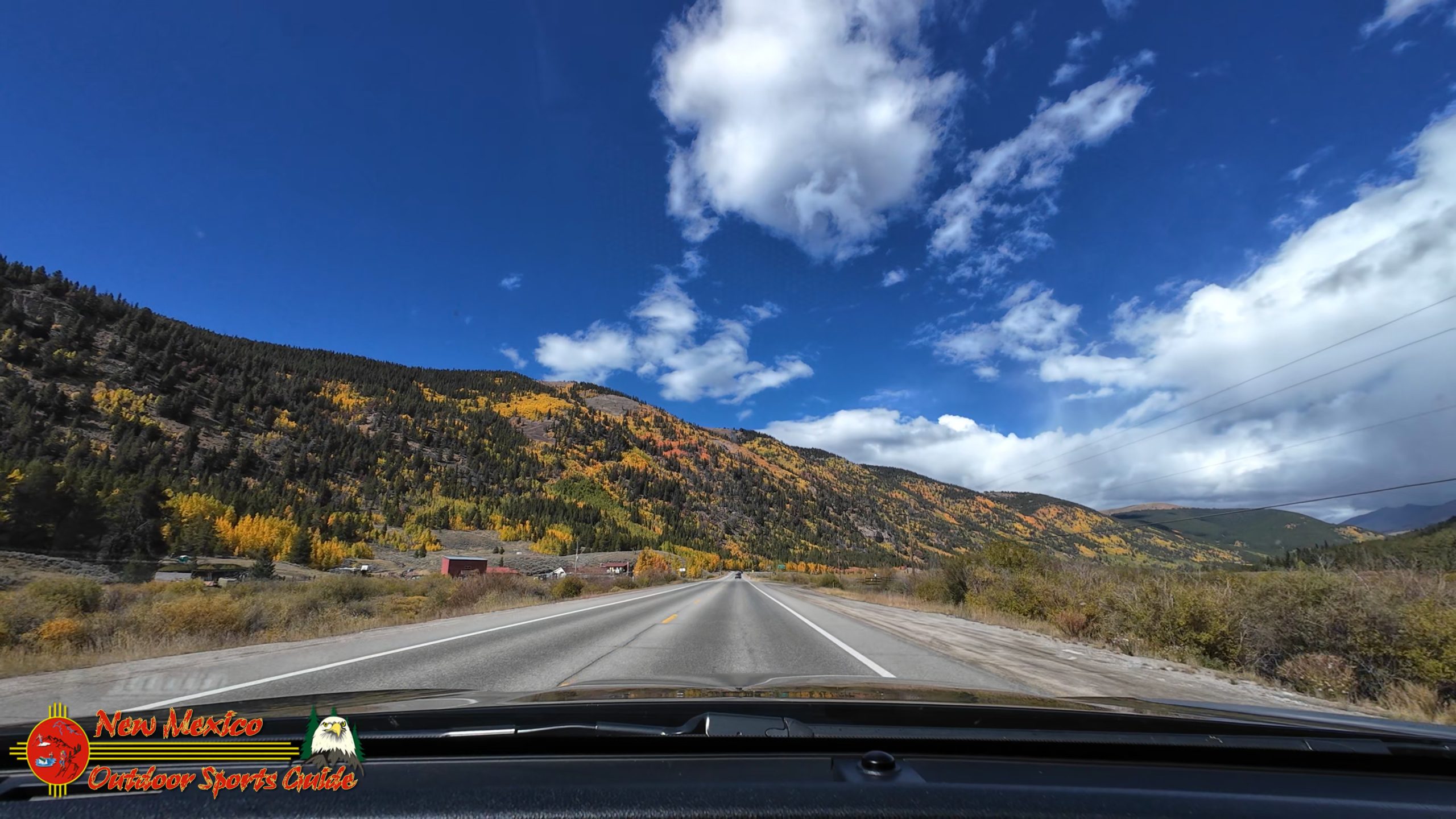
North of Leadville, Highway 91 drops through a spectacular mountain landscape toward Interstate 70 and Dillon Reservoir. This stretch always reminds me why I fell in love with the Rockies. The road winds through stands of aspen and spruce, past abandoned mining operations slowly being reclaimed by nature, with mountain peaks rising on all sides.
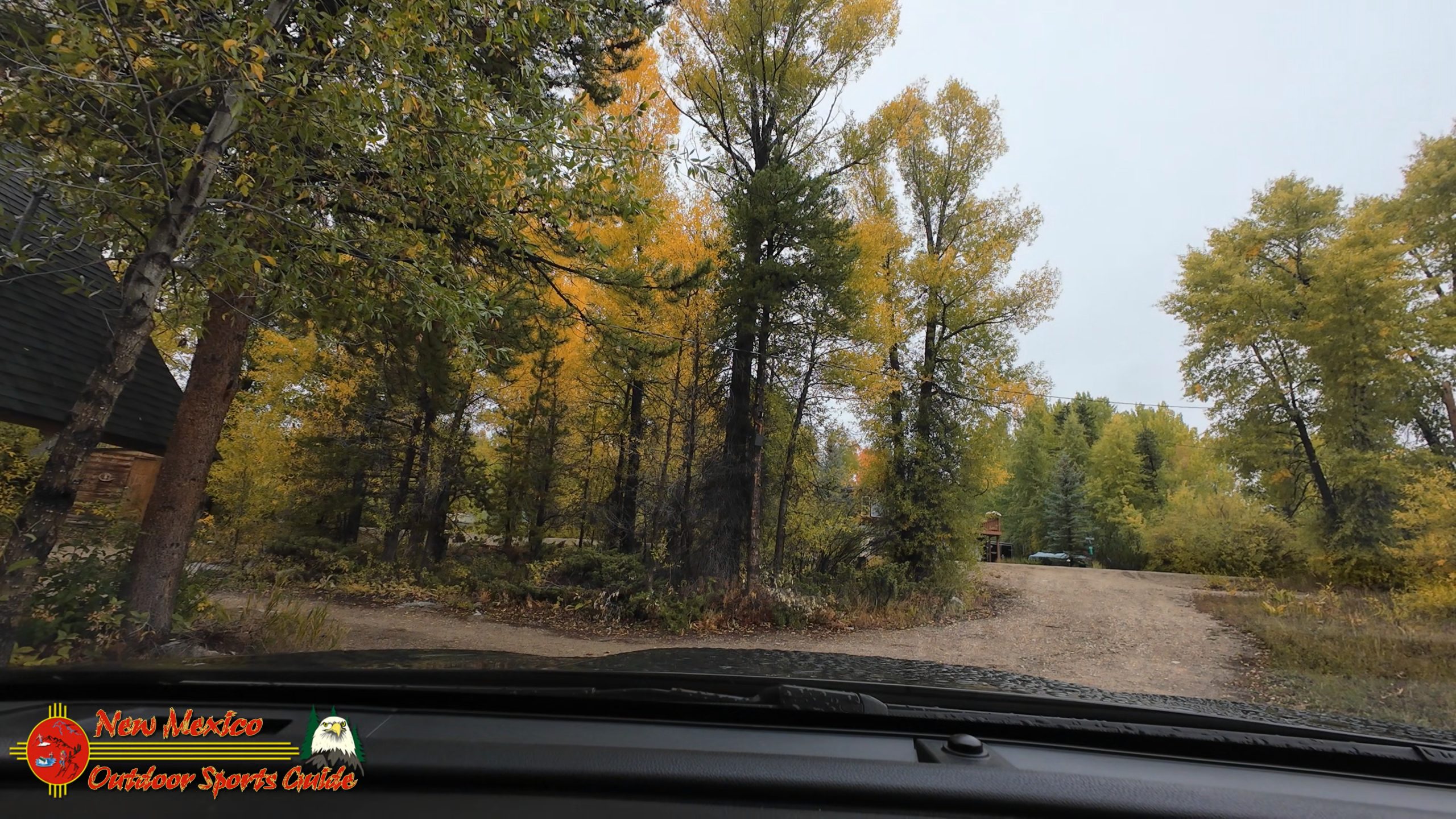
The aspen were approaching peak color, their leaves transformed into shimmering gold that contrasted brilliantly with the deep green of spruce and fir. When the wind blew, the leaves created that distinctive rustling sound, like thousands of tiny wind chimes. Paulette and I made several unplanned stops, unable to resist the photographic opportunities. Some things you simply can't drive past without stopping—a hillside of golden aspen backlit by late afternoon sun is one of them.
Dillon Reservoir came into view as we descended—a massive body of water at 9,017 feet elevation, created in 1963 when Denver Water built the dam on the Blue River. The reservoir is surrounded by peaks on all sides, creating one of Colorado's most scenic bodies of water. The town of Dillon sits on the western shore, a recreation-focused community that serves skiers, boaters, and outdoor enthusiasts year-round.
Following the Blue River
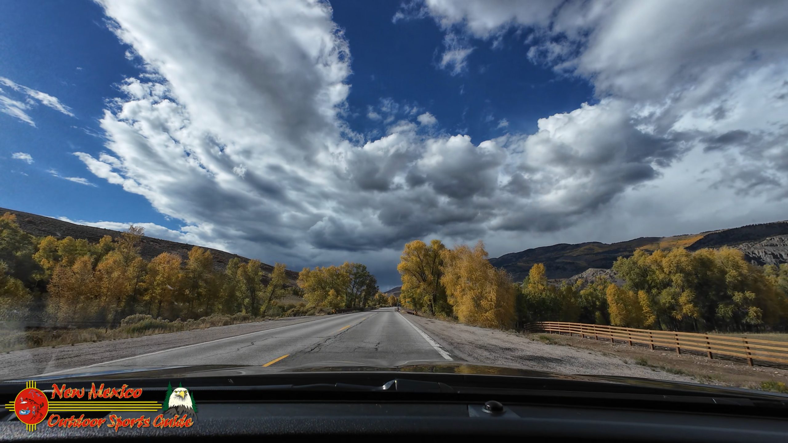
From Dillon, Highway 9 follows the Blue River north through Summit County and into Grand County. This is one of my favorite stretches of road in all of Colorado—a relatively gentle valley that the Blue River has carved through the mountains, lined with willows that were ablaze in fall color.
The willows along the Blue River create a riparian corridor of reds, oranges, and yellows, a ribbon of color snaking through the valley. The river itself runs clear and cold, a renowned trout fishery that draws anglers from around the world. We passed numerous pullouts where fishermen worked the water, their fly lines catching the light as they cast to rising trout.
Green Mountain Reservoir appeared below us as we descended—another large impoundment, this one at 7,950 feet, stretching across the valley floor. The reservoir was created in 1943 and serves primarily for water storage and flood control. Unlike some reservoirs that can look harsh and artificial, Green Mountain Reservoir has matured into its landscape, its shores softened by vegetation and time.
Kremmling and the Colorado River
The small ranching town of Kremmling, at 7,313 feet, marks another significant milestone in the journey—here we crossed the Colorado River for the first time on this trip. I always feel a small thrill when crossing the Colorado, knowing where it begins and imagining where it flows—through deserts and canyons, past cities and farms, all the way to the Sea of Cortez in Mexico (or at least where it used to reach the sea before human demands claimed nearly every drop).
At Kremmling, the Colorado is already a substantial river, fed by numerous tributaries flowing from the surrounding mountains. It's cold, clear, and moving with purpose. Hard to believe this river, already impressive here, started as a trickle less than a hundred miles north of where we stood.
From Kremmling, Highway 40 follows the Colorado River upstream (though technically we're going downstream relative to the river's flow), past increasingly mountainous terrain. The valley narrows, the river picks up speed, and you get the sense of heading deeper into the high country.
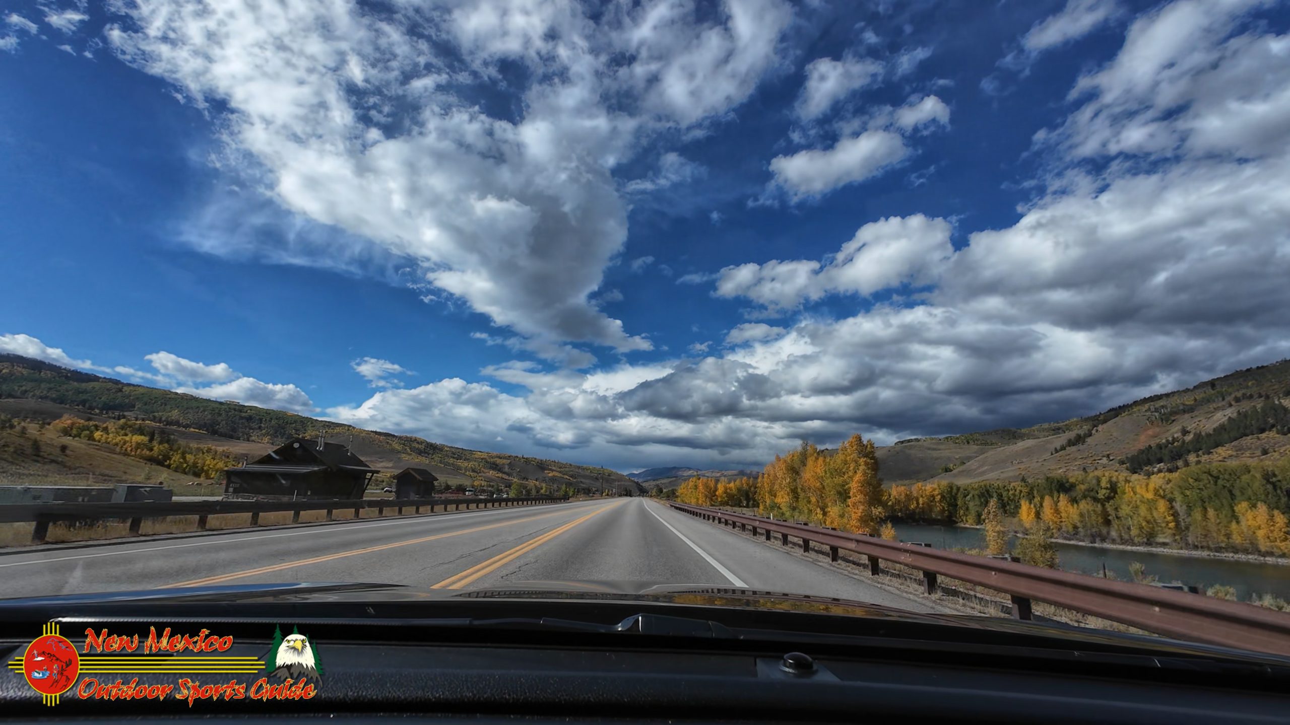
Lake Granby and Grand Lake
Lake Granby appeared on our right—Colorado's third-largest body of water, at 7,256 acres and 7,935 feet elevation. Created in 1950 as part of the Colorado-Big Thompson Project, Lake Granby serves as a massive water storage reservoir, collecting snowmelt from the western slope of the Continental Divide and eventually sending it through tunnels under the mountains to Colorado's Front Range cities.
But Lake Granby is more than infrastructure—it's a beautiful alpine lake surrounded by national forest, its shores dotted with campgrounds and recreation areas. The late afternoon sun painted the water in shades of blue and silver, with shadows from the surrounding peaks creating patterns across the surface.
Beyond Lake Granby, we passed Shadow Mountain Lake, smaller and more intimate, before finally arriving at Grand Lake itself—Colorado's largest natural body of water and the western gateway to Rocky Mountain National Park. Grand Lake, the town, sits at 8,369 feet on the lake's western shore, a collection of rustic cabins, lodges, shops, and restaurants that has catered to summer visitors and winter snowmobilers for over a century.
Arrival at the Cabin
We arrived at our cabin rental as dusk settled over the landscape, bringing with it a chilly drizzle that promised colder weather ahead. The cabin perched on a hillside overlooking Shadow Mountain Lake, offering views that would be spectacular come morning. For now, though, we were content to unload our gear, turn up the heat, and settle in for a cozy dinner and much-needed rest.
The drive had covered more than 400 miles through some of the most spectacular terrain in the southern Rocky Mountains—from high desert to alpine valleys, through historic mining towns and past magnificent reservoirs, following rivers that have shaped this landscape for millions of years. We'd gained and lost thousands of feet in elevation, passed through multiple ecosystems, and witnessed the full glory of fall color in the high country.
But this was just Part 1 of the journey. Tomorrow would bring the real adventure—the drive through Walden and up Long Draw Road to the Colorado River headwaters, where one of North America's most important rivers begins its 1,450-mile journey to the sea. As I drifted off to sleep that night, I thought about beginnings—of rivers, of journeys, and of the precious time we have to witness these wonders. At eighty-two, every adventure feels more precious, every vista more meaningful.
The Colorado River headwaters awaited. And I was ready.
Join me in Part 2 as we venture north through moose country to the remote end of Long Draw Road, where the Colorado River springs to life in a pristine alpine meadow at over 10,000 feet elevation. The search for headwaters—and moose—continues.
0 Comments